Lynx Creek Ruin Archeaological Site Trail 2022.11.04
Temperature: 59 deg F. at 2:06 PM (GMT-7); Weather: Sunny with light variable breeze; Elevation: 5,460' at trailhead; Coordinates: 34.53106 N, 112.38924 W.
The Lynx Creek Ruin Archaeological Site Trail is an easy 3/4-mile uphill stroll within an interior chaparral zone transitioning to evergreen woodland. Trail condition is excellent and primarily maintained by the Prescott National Forest Over the Hill Gang and Adopt-A-Trail programs. This one-and-a-half mile out-and-back trail does have a few rocky ledges, but I found these easily traversed. At the "Y" in the trail about halfway up, stay to the right and pass through the boundary fence "Z" gate to get to the archaeological site. There are several shaded, trail-side benches for resting and observation along the way plus some interpretive stations with information regarding the site's occupation, estimated to be between 1150-1300 A.D.
The view of the surrounding landscape from the archaeological site makes it abundantly clear why this hilltop location was selected by the Native Americans that lived here. Evergreen woodlands provide valuable wildlife habitat and vegetative cover for watershed protection (Tomoff, Carl and Joan, 2019). Please note: The elevated viewing deck located above the archaeological site was closed as of this writing due to structural problems.
Always hike with water, stay on the trail, and let others know where you are going and when you'll return. And bring your binoculars! The US Forest Service charges a $5 parking fee, but Wednesdays are free.
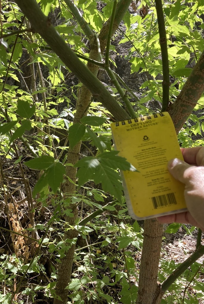
Here's a species list showing iNaturalist observations made during the hike. (Clicking the link will open the observation in a new tab):
Research Grade:
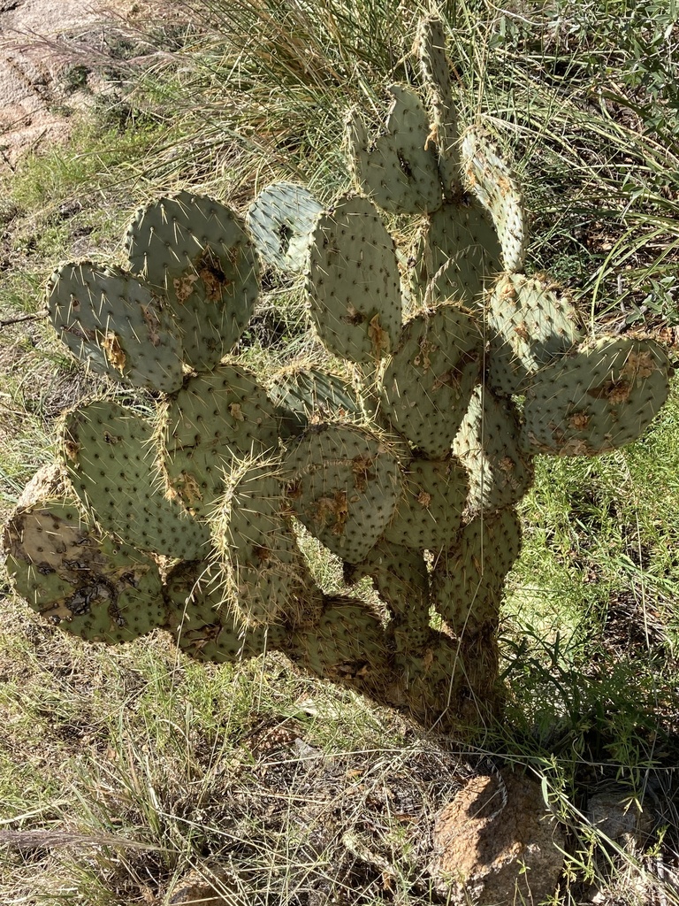
Opuntia engelmannii (Engelmann's Pricklypear)
Yucca baccata (Banana Yucca)
Rhus aromatica (Fragrant Sumac)
Bothriochloa barbinodis (Cane Bluestem)
Bouteloua curtipendula (Sideoats Grama)
Bouteloua gracilis (Blue Grama)
Arctostaphylos pungens (Pointleaf Manzanita)
Pseudognaphalium canescens (Wright's Cudweed)
Purshia stansburyana (Stansbury's Cliffrose)
Cercocarpus montanus (Alderleaf Mountain Mahogany)
*Verbascum thapsus (Great Mullein)
*Marrubium vulgare (White Horehound)
*Indicates introduced, non-native species
Other observations made during the hike lack community consensus at this time, but will be added to the Research Grade observation list should the "Needs ID" status change. A shout out to @rangermicah and @frankiecoburn for adding IDs to my observations. Thanks for your assistance.
That's my take. What's yours? If you've been there, please take a moment to relate something special about your experience at Lynx Creek Ruins Archaeological Site Trail (plus any flora and fauna you may have encountered) in the Comments area below. Please also visit the Natural History Institute on the web at http://www.naturalhistoryinstitute.org.
Stay tuned for more Journal Posts from the Mogollon Highlands ecoregion.